Chasing Waves: How Data Predicts Surf Spots
In the blue-black morning, long before tourists swallow the shores whole, you’ll find the early rising surfers: the dawn patrol. They’re searching for the ever-elusive “spot,” the perfect mix of wind, swell, and waves. For these grizzled vets, spotting great waves is easy enough, but predicting where they’ll be is the tricky part.
In the past, predictions relied on rudimentary data and intuition, but today there’s a wealth of data available to surfers. Oceanographers, data scientists, and engineers build models with information captured by deeply sophisticated buoys, all in hopes of catching the perfect wave every single day.
Bobbing on the surface
The key to any useful model or prediction is capturing high-quality data, and lots of it. Datawell, a Dutch company making oceanographical measuring instruments, was founded in the wake of the 1953 North Sea flood to capture accurate data about the ocean.
“The flood in 1953 killed more than 2,000 people. We realized we needed to build stronger dikes to protect our people and our lands. But to do that we needed an instrument that could measure the waves. That’s what we were founded to do,” said Jitze Jan de Vries, an R&D engineer at Datawell. Building a dike just a few feet higher could cost millions of dollars, so accurate data was vital as the country recovered and began the Delta Works project.
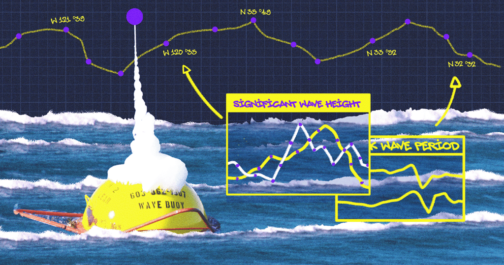
In the 1960s, Datawell was manufacturing analogue computers to predict high tides, and later specialized in wave measuring buoys. Over time its fleet became more sophisticated and widespread. Wave height and direction, swell period, water and air temperature, current, and more are captured by Datawell’s flagship Waverider buoys, equipped with Western Digital’s SiliconDrive II 2GB PATA SSDs, deployed in every ocean on the planet. Through this data, governments and research institutions can visualize oceanic processes at a planetary scale.
“Our buoys generate 20 kilobytes of data every half hour, storing the archive locally and then transmitting the relevant data back to our customers,” de Vries said.
Apart from tides, the statistics of the wave height is crucial in determining the height of the dikes. This so-called Delta height is set to withstand the highest storm tide in 10,000 years, which is 12 meters. This catalog of data and the network of buoys is the keystone behind accurate wave modeling. Datawell’s buoys can capture a storm in New Zealand, track it through the Pacific, past Tahiti, all the way to the shores of Southern California, sending near real-time updates to customers like the Scripps Institution of Oceanography (SIO). For de Vries, the importance of the data and the challenges of the ocean drive Datawell’s efforts.
“We need a robust design for the buoy and the electronics because they’re out there all by themselves. They need to be reliable, constantly reading and writing the data,” de Vries said.

Motion of the ocean
Researchers take this data, sometimes decades of it, to build their wave models. James Behrens, program manager for the Scripps Institution of Oceanography’s Coastal Data Information Program (CDIP) at UC San Diego, and his team integrate the raw oceanic data with complex mathematical formulae to build advanced coastal monitoring models for research, industry, and public uses.
“Our coastal wave model is based on the concept that, if you know the properties of the wave, including its direction, you can predict how it will travel through the bathymetry of the ocean and arrive at shore. Our buoys are far enough off shore where they can still pick up the ocean swell, and we use that information to predict the next few hours of wave conditions,” Behrens said.
“Other models rely on wind speed and direction. The wind wants to pile up the water, and gravity wants to flatten it back down. So you can use maps of air over the ocean to make predictions as well,” he continued.
If there was only ocean swell or wind to account for, the models would be easy to build, but so many factors can impact the tides. The islands and ocean canyons off the coast of Southern California, for example, are incredibly difficult to model because of their uneven features.
“The ocean surface is a fluid dynamics process at the end of the day. The ocean is a fluid, the atmosphere is a fluid, and waves are outcome of those two masses interacting,” Behrens said. Thanks to nearly five decades of data, Behrens’ team at CDIP is building highly accurate models to ensure California’s coastal infrastructure is prepared for many years to come. It’s the variation and complexity in coastal bathymetry that remains challenging.
“The environment we live in is dynamic on a lot of different time scales, day to day, yes, but even decade to decade. Wave energy along a coast changes the sediment distribution and bathymetry, which in return modifies the wave shoaling action. Significant changes can be seen during the course of a single large wave event,” Behrens said.
So while CDIP can predict waves over the course of a few hours, predicting how a single wave will behave is still incredibly difficult.

Offshore winds and glossy waves
“The reality is that you can ask very simple questions about fluid dynamics and the ocean, that don’t have simple answers,” said Nick Pizzo, a physical oceanographer at the University of Rhode Island.
“For example, it has been obvious that wind can generate waves for as long as people have looked at bodies of water, but the full details of this process are not fully understood despite the best efforts of many scientists,” Pizzo said.
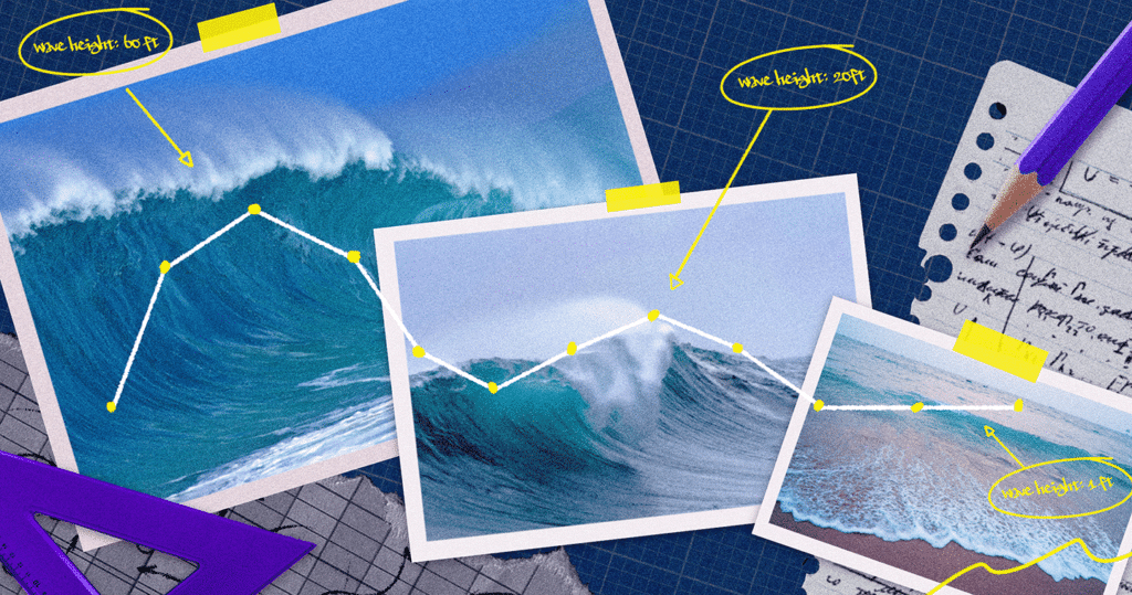
Pizzo describes wind as the number one factor in creating good surfing waves; high winds blowing for long durations can generate wave groups that are kilometers long. Those larger waves have the power to cross the ocean, arriving at the beach with just the right amount of height and speed for a surfer to catch. Meter-long waves created in the open ocean are too small, though, and peter out before they reach shore. This explains why the waves in the Great Lakes aren’t as big as those in the ocean; there’s not enough wind across enough area to generate big waves.
Scale is a key theme for Pizzo. He emphasizes how the lazy three footers on Southern California beaches are the result of terrifyingly powerful storms on the other side of the globe.
“Scale is something humans struggle with, especially when it comes to the ocean. Let’s say you go to the beach, and it’s 10 feet and firing and you’re scared to get in the water. Those scary waves are just a blip compared to the total energy radiating out from a storm that started 10,000 miles away,” he said.
“We’re talking about a massive range of scales; from the small details we’re interested in as surfers to the energy it takes to generate them during a massive storm. That’s one of the main challenges with wave modeling: accurately describing the range of scales.”
Picking the spot
So it’s this data-powered fluid dynamic puzzle that surfers are trying to figure out—when will the giant weather systems that govern the tides create the right conditions to surf. Nicholas Peterson, developer of the app Lazy Surfer, leverages publicly available data to predict when those conditions will appear.
“Just going to my local spot in San Diego, I was looking at the surf report and writing down the conditions when I had a great session. Slowly I started automating and adding more spots, and that’s how Lazy Surfer got started,” Peterson said.
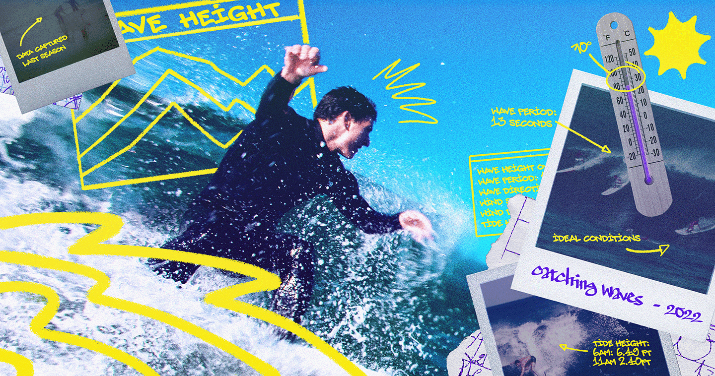
Lazy Surfer grabs forecasts from organizations like NOAA and shows that information along with a score to indicate how good overall conditions might be at a given spot. Users can then log their session in the app with ratings and an hourly breakdown. These ratings contribute to the model’s personalized recommendations. After a handful of sessions, Lazy Surfer will know if a user prefers smaller waves, for example, and adjust its suggestions accordingly.
“Lazy Surfer is just the next iteration on the surf journal. Instead of referring to the stacks of journals, we’re leveraging data and your phone to keep track for you,” Peterson said.
Although Lazy Surfer isn’t modeling the waves itself—the app isn’t running physics simulations on phones or in the cloud—the user-generated data it collects is key to the forecasts. Even with strong models and good data, predicting where surfers will have the most fun is an almost impossible task, where each spot presents unique conditions and challenges.
“The reality is that predicting waves and conditions is really hard. You can try to break it down to its barest elements, but at that point you aren’t telling the whole story of the data,” Peterson said.
“It comes down to each individual spot, and that local knowledge you can only get by surfing a lot. Some spots are always good, but others are very finnicky. They maybe only work in a small range of conditions.”
Chasing waves
Therein lies the madness of predicting the ocean. Even though we’re deploying highly sophisticated buoys and decades of historical data, we only have best , guesses at how the ocean will behave. We’ve compiled decades of research by oceanographers and engineers, but we can’t say with total certainty how an individual wave may behave or where it’ll end up. And that’s not even getting into the physical and performative challenges that surfing poses.
Despite all those challenges, we can’t stop trying. We can’t stop looking out across the deep blue and wondering why and how it all works, and what’ll happen next. No matter how many times humans wipe out, we get back on the board.
Artwork by Cat Tervo


