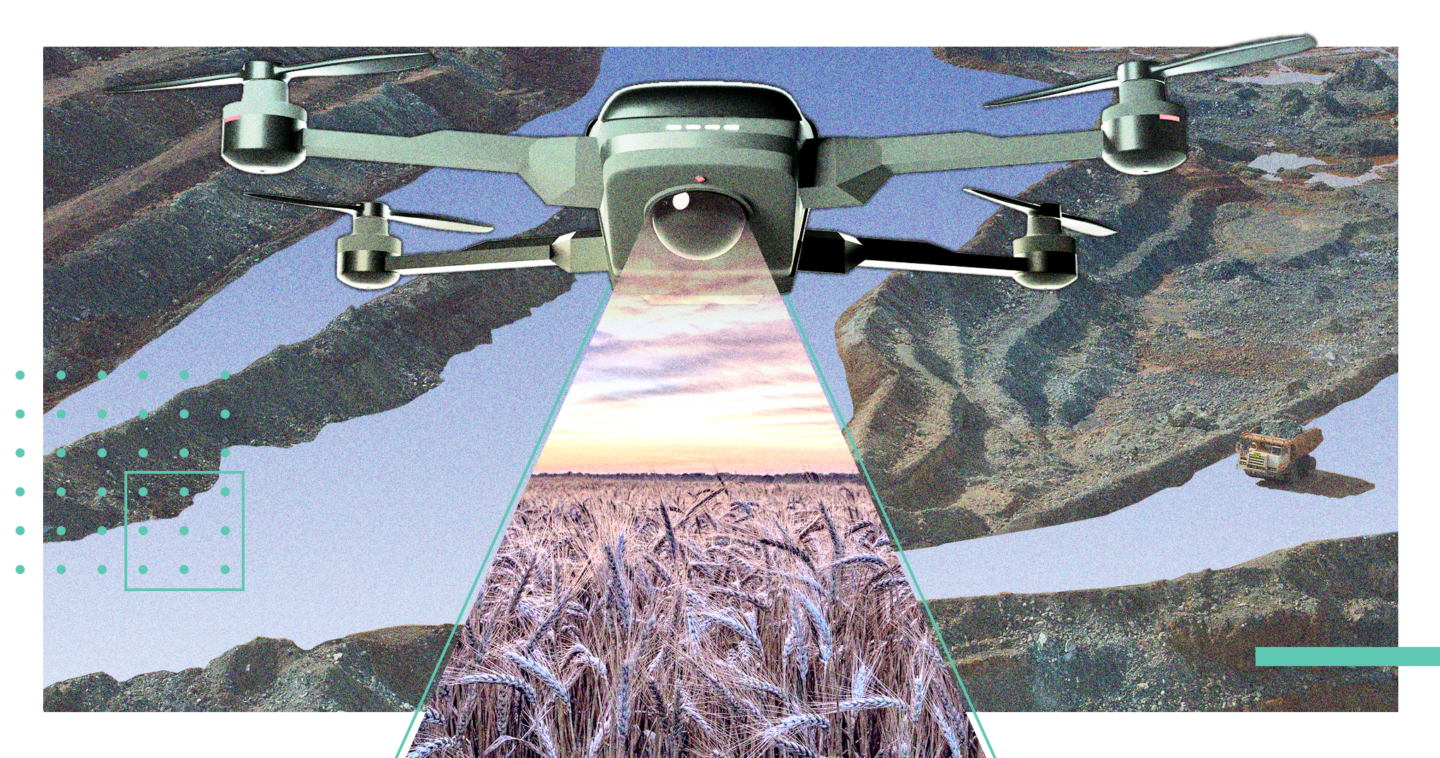
In 2013, people couldn’t get enough of drones. Amazon announcing investments in a drone delivery force punctuated a period of growth and excitement for Unmanned Aerial Vehicles (UAVs), from increased use in business to growth in the hobby space. While delivery is an important use case for drones, the more exciting prospect is data.
By equipping drones with cameras, enthusiasts realized a powerful tool: a remote data collector that can gather insights humans simply cannot. Expanding on this idea led to immense growth in drone usage across a myriad of fields, like agriculture and mining. Examining the kinds of data drones collect, how its stored, and who’s using it, will explain why the industry is projected to be worth $501.4 billion by 2028.

Flying over data
The primary type of data associated with drones is visual. While today the iconic quadcopter of enthusiast drone pilots can be seen filming festivals from on high or taking sublime photographs of the skyline, the original use for drones was less artistic. As early as WWI, unmanned aircraft were being used in WWI for various purposes. Continued development led to UAVs being used for reconnaissance and scouting in the Vietnam War.
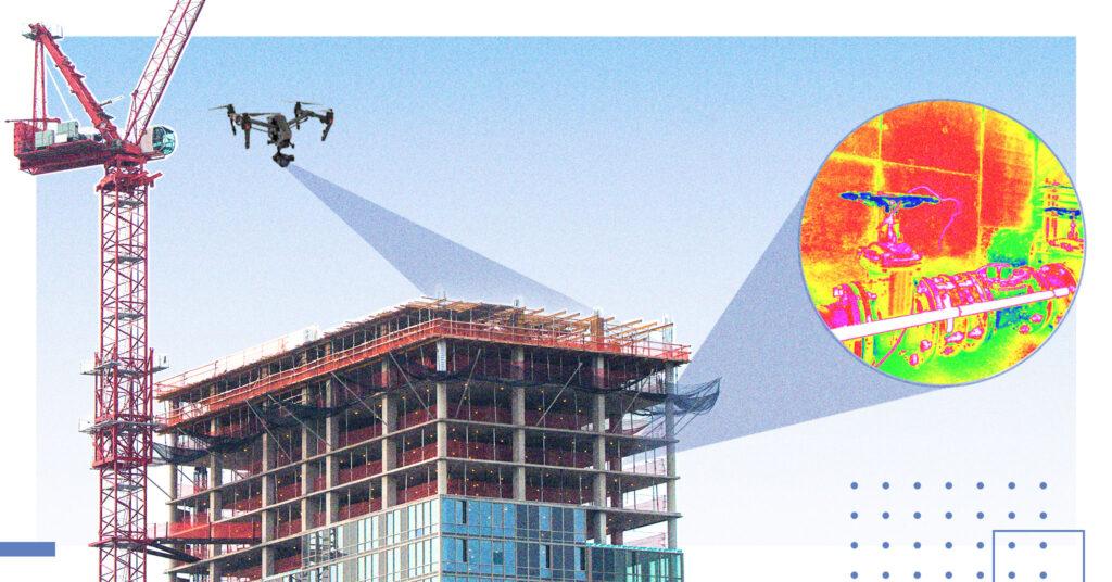
However, continued development of the aircraft has led to innovation in the data collection capabilities of drones, spurring on the adoption rate of UAVs in various industries. Drones outfitted with Geographic Information Systems (GIS) survey the land, assisting in the creation of to-scale maps for construction, conservation, or disaster relief. Construction firms equip drones with thermal imagers to see where buildings are leaking heat to create safer and more energy efficient buildings.
Those applications are still in early development compared to applications in agriculture. Drones provide real-time information on crop health, livestock location, and irrigation systems. This, combined with the ability to do all of this remotely, offers farmers massive cost savings on labor, improved resource allocation, and better crop yields. Analysts predict that use of drones in agriculture alone will be a $1 billion industry by 2023, forecasting steady growth worldwide.
Data on board
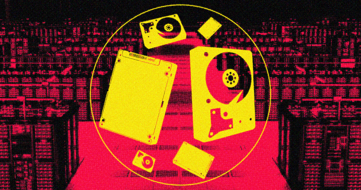
All that data must go somewhere. Drones, as essentially flying, autonomous computers, require robust storage solutions to ensure optimal performance. Not only are internal drives and SD cards critical for storing data locally, but many are also connected to the internet or secured networks, meaning the ability to transfer data to and from the cloud or edge is vital.
“Drones are one of many technologies that absolutely benefit from advancements in storage, as well as driving the same advancement,” said Yaniv Iarovici, director of technical segment marketing flash business, in an email interview.
“Drones are fast-moving and sometimes subjected to unplanned high impact. As such, they benefit from solid state, flash storage that has no movable parts,” he said. “Generally speaking – drone designers and manufacturers, like other connected applications, are leveraging advancements in mobile and compute, designing embedded storage (eMMC and UFS), removable cards and solid state drives into their systems.”
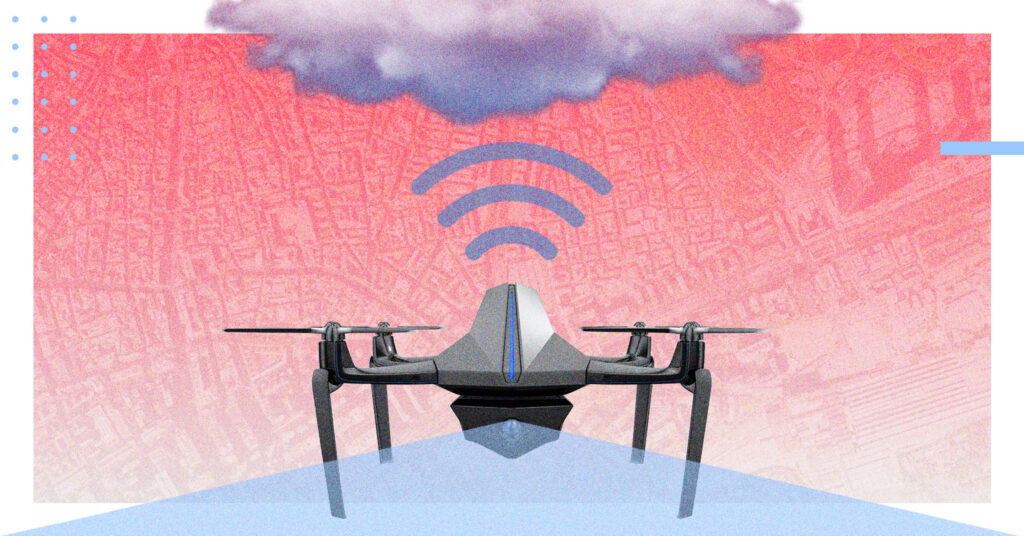
While those internal solutions remain important, operators no longer rely on transferring the data by hand after landing the UAV. Today, edge and cloud computing remove this downtime by transmitting the data for interpretation to a data center. An more automated system could alert a farmer of a fungus outbreak, for example, resulting in a timely response to prevent an epidemic and loss of crops.
The cloud represents the next step in this evolution. As Colin Guinn, founder of Hangar Technologies put it, “In the future, it will go from the drones’ imaging sensors straight to the cloud over 5G to be processed and stored in the cloud.”
This near-instantaneous feed of information will be critical for organizations like first responders and law enforcement in disaster relief and crisis response. The literal difference between life and death could come in the ability to identify the direction a wildfire is moving or the precise location of survivors in a crumbling building and dispatching help instantly.
“You can have almost instantaneous situational awareness. You can actually know what’s going on. Getting information that you need, when you need it,” said Brian David Johnson, a professor of practice at Arizona State University.
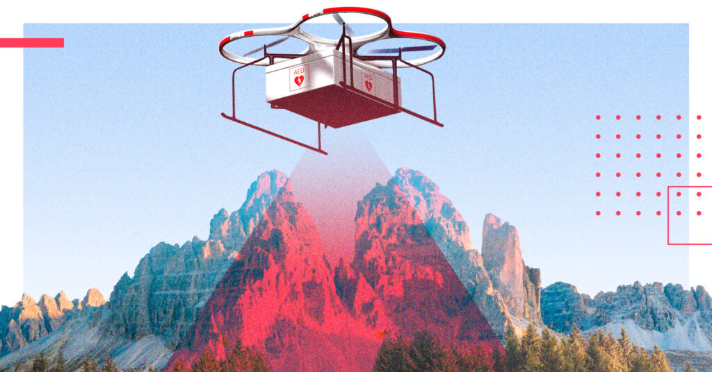
The growth, innovation, and expansion of the drone industry since its arrival in the mainstream is remarkable. Drones may be more compelling and instrumental today than they were in 2013. As more use cases are codified, the kinds of tasks drones can take on become more diverse and imaginative.
Drones are powerful tools that allow us to see objects, instances, and trends from previously unthinkable perspectives, not unlike the data they collect. Beyond the business and beyond the technology, it’s about unlocking new perspectives to drive us forward. Images that re-envision our spaces, insights that help feed the world, and information that saves lives.

